

Photos: Havardtl (CC BY-SA 4.0), Sondrekv (Public domain), Sondrekv (Public domain) · Wikimedia Commons
1 / 3Hardangervidda National Park
About
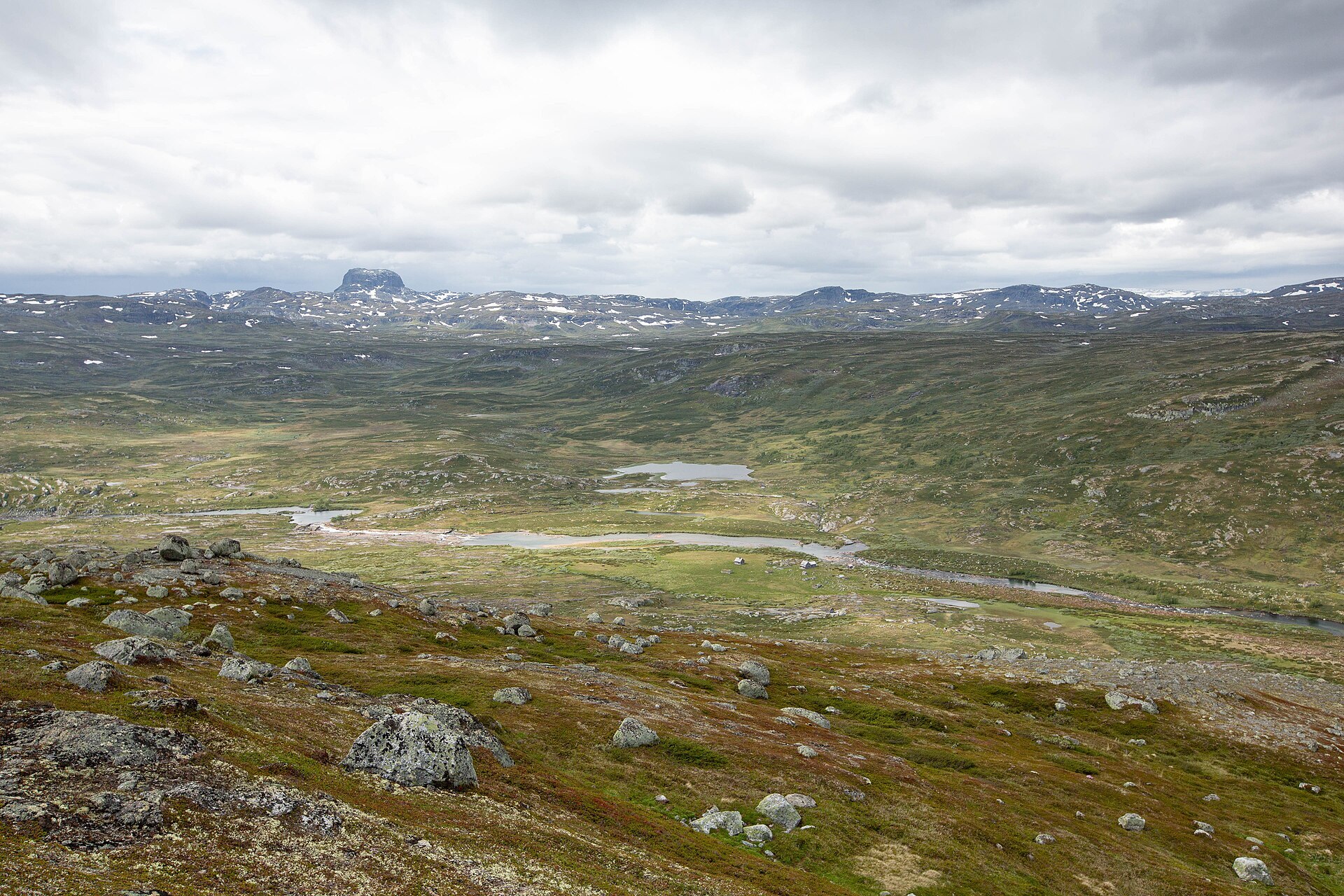
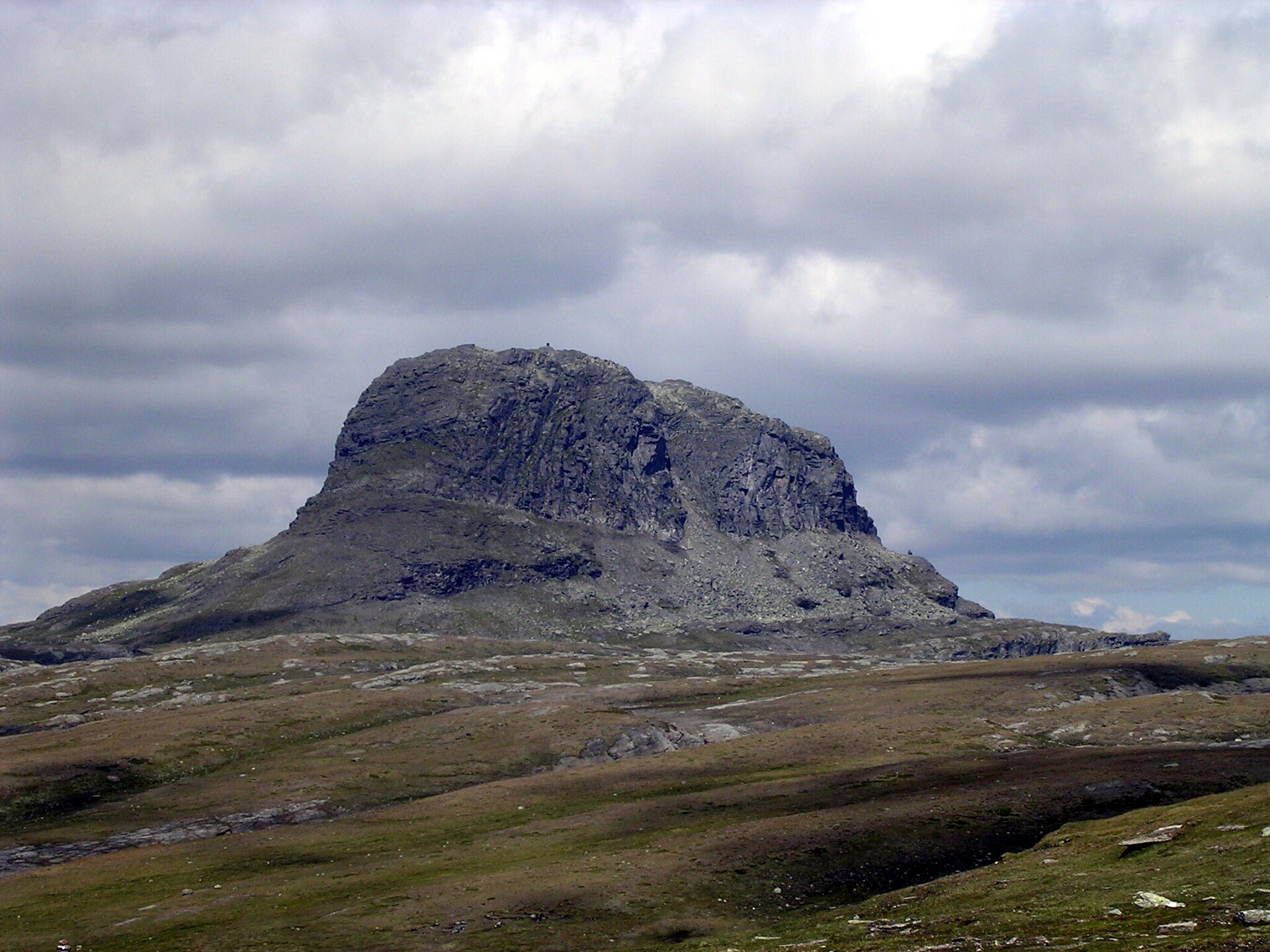
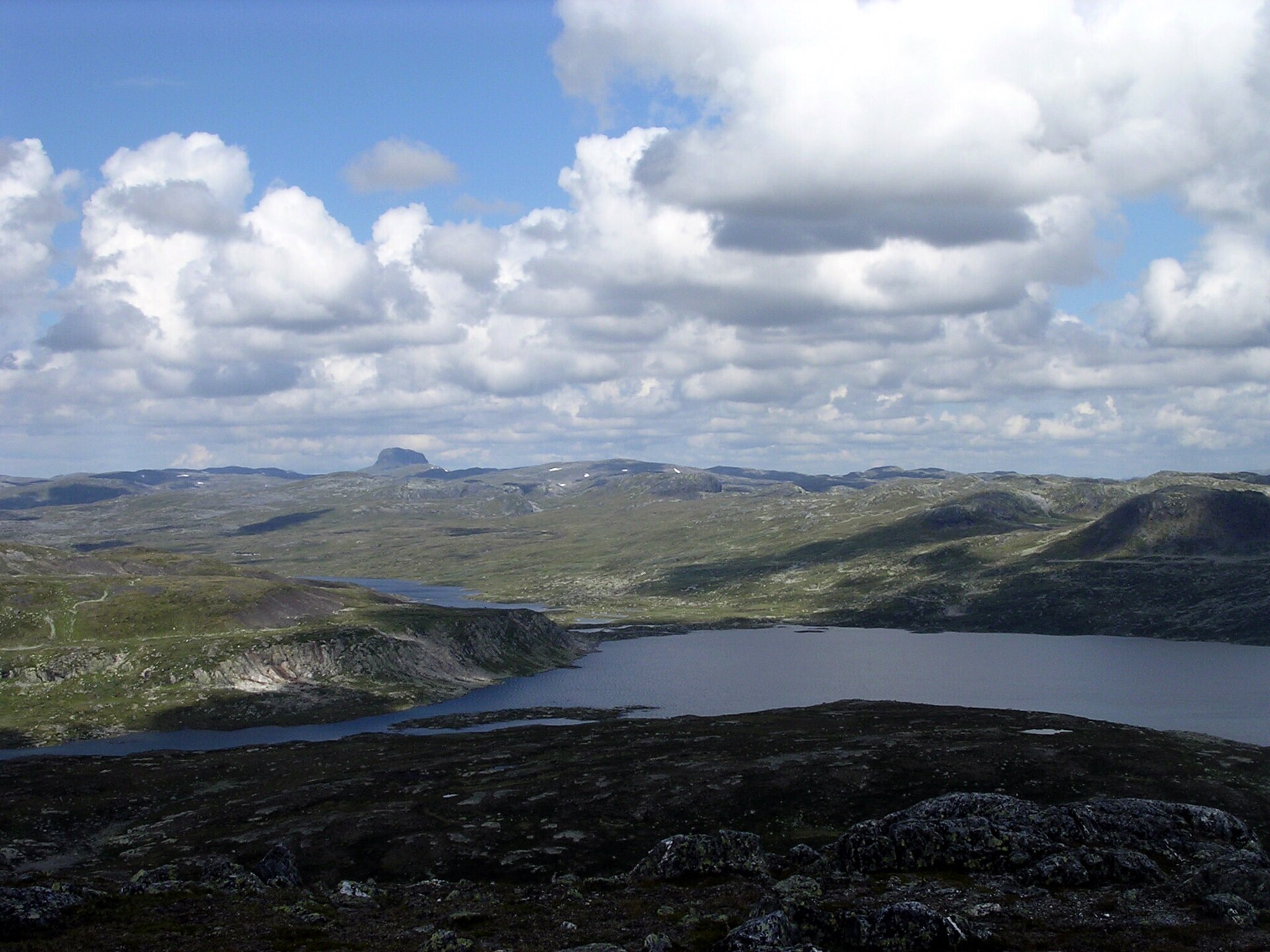
Up on Hardangervidda the horizon just keeps going. This is northern Europe's largest mountain plateau, mostly between 1.100 and 1.400 metres up, full of lakes, bogs and rounded hills, until it breaks into steep valleys and waterfalls in the west. About half of it became a national park in 1981, and at 3.445 km² it is the largest in mainland Norway. The highest point is Sandfloegga (1.721 m), but the mountain you remember is Hårteigen, a dark block of rock with near-vertical walls about 300 metres high, visible from almost the whole park. Europe's largest herd of wild reindeer lives here, and the arctic fox has been brought back in recent years.
Local knowledge: the park almost didn't happen. Hardangervidda was on the first national park plan in 1964, but its rivers were worth a lot of power. Vøringsfossen was given up for a power plant in 1973, and the fight moved on to the Veig and Dagali rivers. After years of campaigning by Aksjon Hardangervidda and a hard debate inside the Labour Party, both rivers were saved and the park was created in 1981. It is often called the biggest win Norwegian conservation has ever had.
Local knowledge: the empty-looking plateau is full of human traces, from old reindeer and elk trapping systems to stone huts and summer farms. At Sumtangen by lake Finnsbergvatnet, just north of the park near the Hardangerjøkulen glacier, hunters came back for more than 8.000 years. The reindeer bucks had to pass a bottleneck there on their autumn migration. Beaters and cairns scared them out into the lake, where men in boats killed them, and heaps of reindeer bones still lie outside the medieval stone huts.
Visiting: Rv7 crosses the northern edge of the plateau between Eidfjord and Geilo. The park itself has no roads. The pin is the free car park at Norsk Natursenter Hardanger in Øvre Eidfjord, one of the park's two visitor centres, open from late March to the end of October, with a panorama film on a 21 metre screen, reindeer, mountain trout in aquariums and a restaurant. The other centre is at Skinnarbu by lake Møsvatn on road 37. Inside the park, marked trails link the DNT huts, and July and August are the best months for walking. One fine route follows the Kinso river from Kinsarvik up to the Stavali hut past a long row of waterfalls, a steep climb from the fjord. Wild reindeer are shy, so keep your distance. More: the park's official page. Nearby in our guide: Vøringsfossen, the Hardangervidda Scenic Route, Låtefossen and Trolltunga.

Weather & Northern Lights
Now
In 24 hours
Northern Lights Chances
Weather forecast from MET Norway (yr.no). An indication, not a promise: aurora activity over this place (NOAA) times the clear sky in the best three-hour window of the night (MET Norway). The next nights rest on the Kp forecast only. More: our Northern Lights Forecast and the Northern Lights Map.
Getting there
Norsk Natursenter Hardanger, Sæbøtunet 11, 5784 Øvre Eidfjord, Norway
Nearby
- Joker EidfjordNearest shop · 5,9 km
- Toilets700 m
- EidfjordNearest village5,9 km
- Vinmonopolet VossNearest Vinmonopolet · 45 km
- Kinsarvik Ferry QuayNearest ferry23 km
- Måbødalen Camping og HyttesenterNearest campsite400 m
Data from OpenStreetMap (ODbL)
On the way
Road reports within 40 km and the nearest road cameras, from Statens vegvesen (NLOD). The pictures refresh every few minutes; the reports are put into English word by word. All road cameras
Reviews
Rate this place
You are, or have been here? Give it your stars.
Comments
Thank you! Your comment is shown once we have read it.
No comments yet.
Write a comment
Let us know your experience with this place -- did something change? Your comment is shown once we have read it.
Please write a few words.
Thank you -- that is enough for now. Please try again in an hour.