

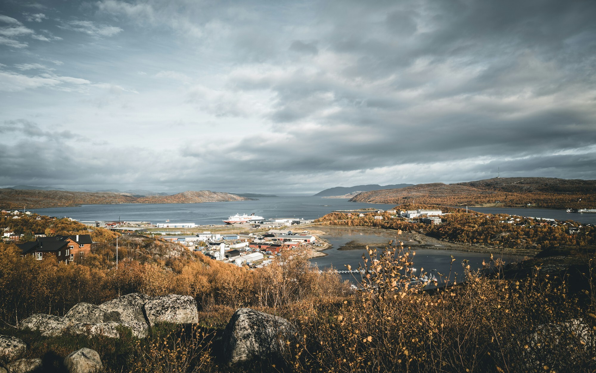
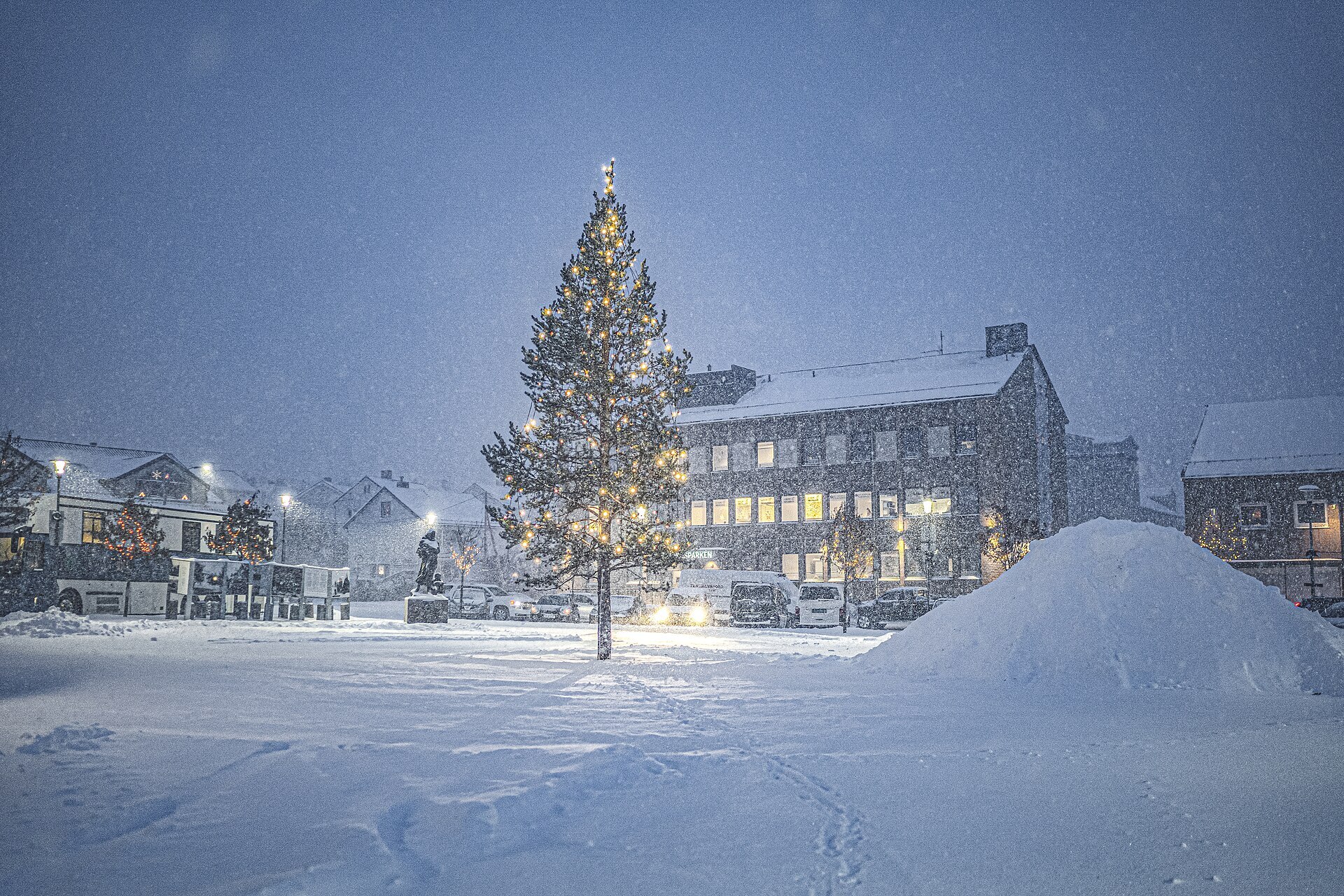
Photos: Norwegian Barents Secretariat (photo: Ksenia Novikova) (CC BY 2.0), Zinnmann (CC BY-SA 4.0) · Wikimedia Commons
Photos: Hans-Joachim Kaiser · Unsplash
1 / 3Kirkenes
About
Kirkenes is where the E6 ends. The town sits on a headland in the Bøkfjorden, an arm of the Varangerfjord, nine kilometres from the Russian border, and the street signs in the centre are in both Latin and Cyrillic letters. Hurtigruten's coastal ships turn around here. Iron ore built the place: only a few families lived here when ore was found at Bjørnevatn in 1906, and the mining company A/S Sydvaranger turned it into an industrial town. The mines stopped in 2015. Today most jobs are in public service, such as the Garrison of Sør-Varanger with its border stations and the Barents Secretariat. The town also calls itself the king crab town, although the crab isn't native: Soviet scientists set it out near Murmansk in the 1960s. From about 19 May to 25 July the sun never sets.
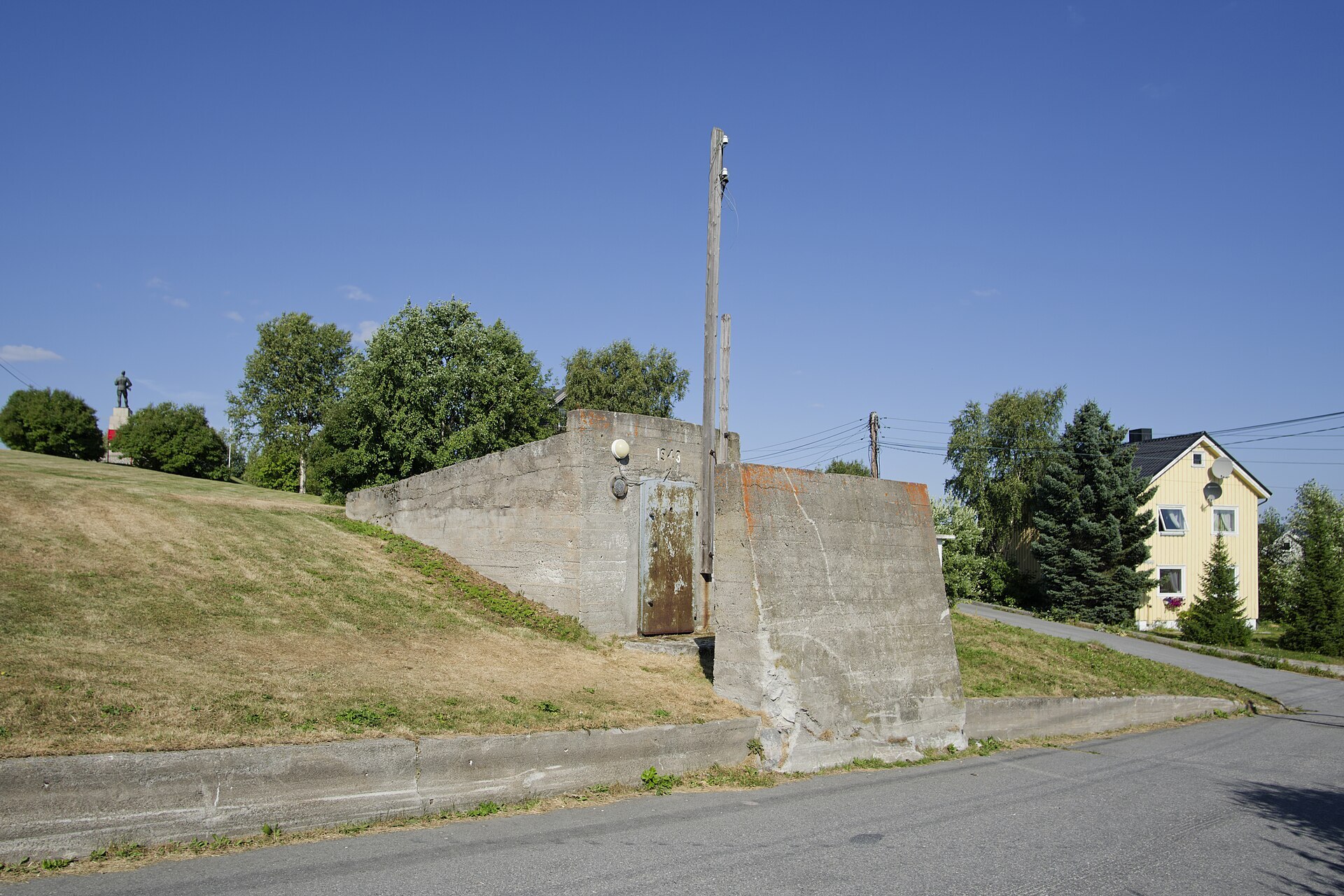
Local knowledge: the name comes from a church built on the headland in 1862. Before that the place was called Piselvnes. In North Sámi it is Girkonjárga, in Kven Kirkkoniemi, and it only became a town in 1998. The war shaped it. From 1941 it was the German supply port for the front against Murmansk, and Soviet planes came again and again: more than 1.000 air-raid alarms and around 320 attacks. People sheltered in Andersgrotta, a tunnel dug into the rock in the middle of town, and in autumn 1944 between 2.000 and 4.000 people lived for almost two months in the mine tunnels at Bjørnevatn, where ten children were born. The retreating Germans burned what was left. On 25 October 1944 the Red Army came in, and Kirkenes was the first town in Norway to be liberated. Only 13 houses were still standing.
Born here: cross-country skier Vegard Ulvang (born 1963) grew up here and won three Olympic golds at Albertville in 1992. Writer Morten Strøksnes (born 1965) wrote Havboka, about trying to catch a giant shark from a rubber boat, known in English as Shark Drunk.
Visiting: the pin is on Dr. Wessels gate, the pedestrian street in the centre. Walk to Andersgrotta for a guided tour of the old shelter. On a rainy day, go to the Borderland Museum (Grenselandmuseet), about a kilometre away and open every day all year: the war, the mines and the largest collection in Norway of work by the Sámi artist John Savio. Or swim at Barentsbadet. Snowhotel Kirkenes, 8 km out in Sandnesdalen, is open all year and has huskies. Good to know: the only legal way across the Russian border is the border station at Storskog. The road east along the border ends at Grense Jakobselv and King Oscar II Chapel, and the Pasvik valley road takes you south to the old pine forest of Øvre Pasvik National Park.
Fact sheet
- Other official names: Girkonjárga (North Sámi), Kirkkoniemi (Kven)
- People: 3.415 in Kirkenes, 9.947 in Sør-Varanger municipality
- County: Finnmark
- Town since: 1998
- Typical industries: the border garrison and other state offices, fishing, not least king crab, hotels
- Midnight sun: 19 May – 25 July
- Polar night: 27 November – 15 January
Population on 1 January 2026, from Statistics Norway. Typical industries are the ones with a much bigger share of the jobs here than in Norway as a whole (Statistics Norway, 2025).
Weather & Northern Lights
Now
In 24 hours
Northern Lights Chances
Weather forecast from MET Norway (yr.no). An indication, not a promise: aurora activity over this place (NOAA) times the clear sky in the best three-hour window of the night (MET Norway). The next nights rest on the Kp forecast only. More: our Northern Lights Forecast and the Northern Lights Map.
Getting there
Dr. Wessels gate, 9900 Kirkenes, Norway
Nearby
- Joker KirkenesNearest shop · 100 m
- Circle K Automat KirkenesFuel300 m
- Toilets100 m
- KirkenesNearest town100 m
- Vinmonopolet KirkenesNearest Vinmonopolet · 200 m
Data from OpenStreetMap (ODbL)
On the way
Road reports within 40 km and the nearest road cameras, from Statens vegvesen (NLOD). The pictures refresh every few minutes; the reports are put into English word by word. All road cameras
Reviews
Rate this place
You are, or have been here? Give it your stars.
Comments
Thank you! Your comment is shown once we have read it.
No comments yet.
Write a comment
Let us know your experience with this place -- did something change? Your comment is shown once we have read it.
Please write a few words.
Thank you -- that is enough for now. Please try again in an hour.