

Photos: Krg (CC BY-SA 4.0), Bjørn Erik Pedersen (CC BY-SA 4.0), Thomas Christian Espenes (CC BY-SA 4.0) · Wikimedia Commons
1 / 3Kristiansund
About
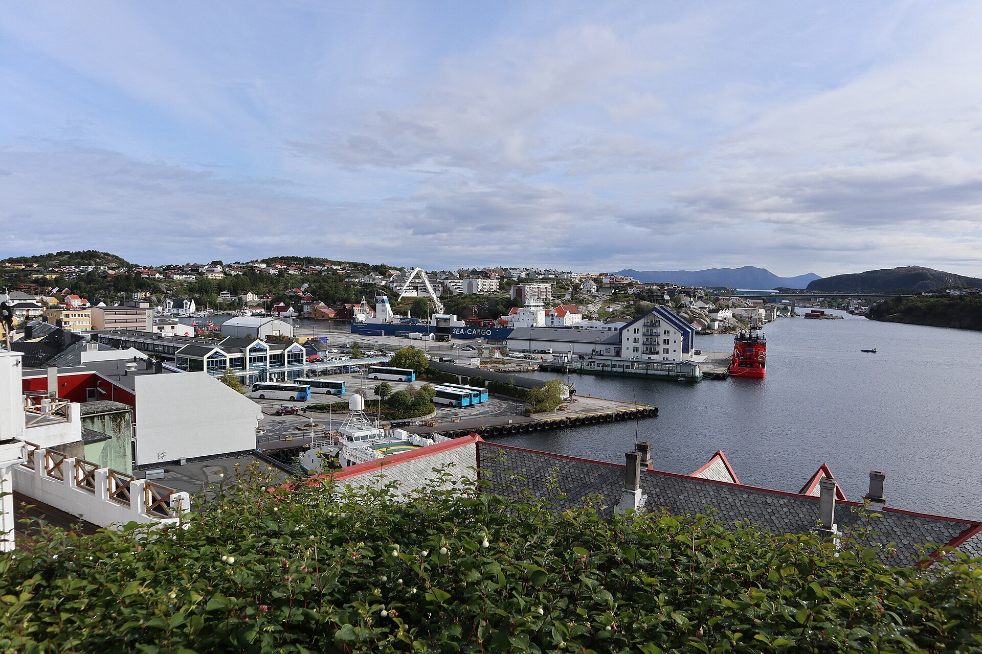
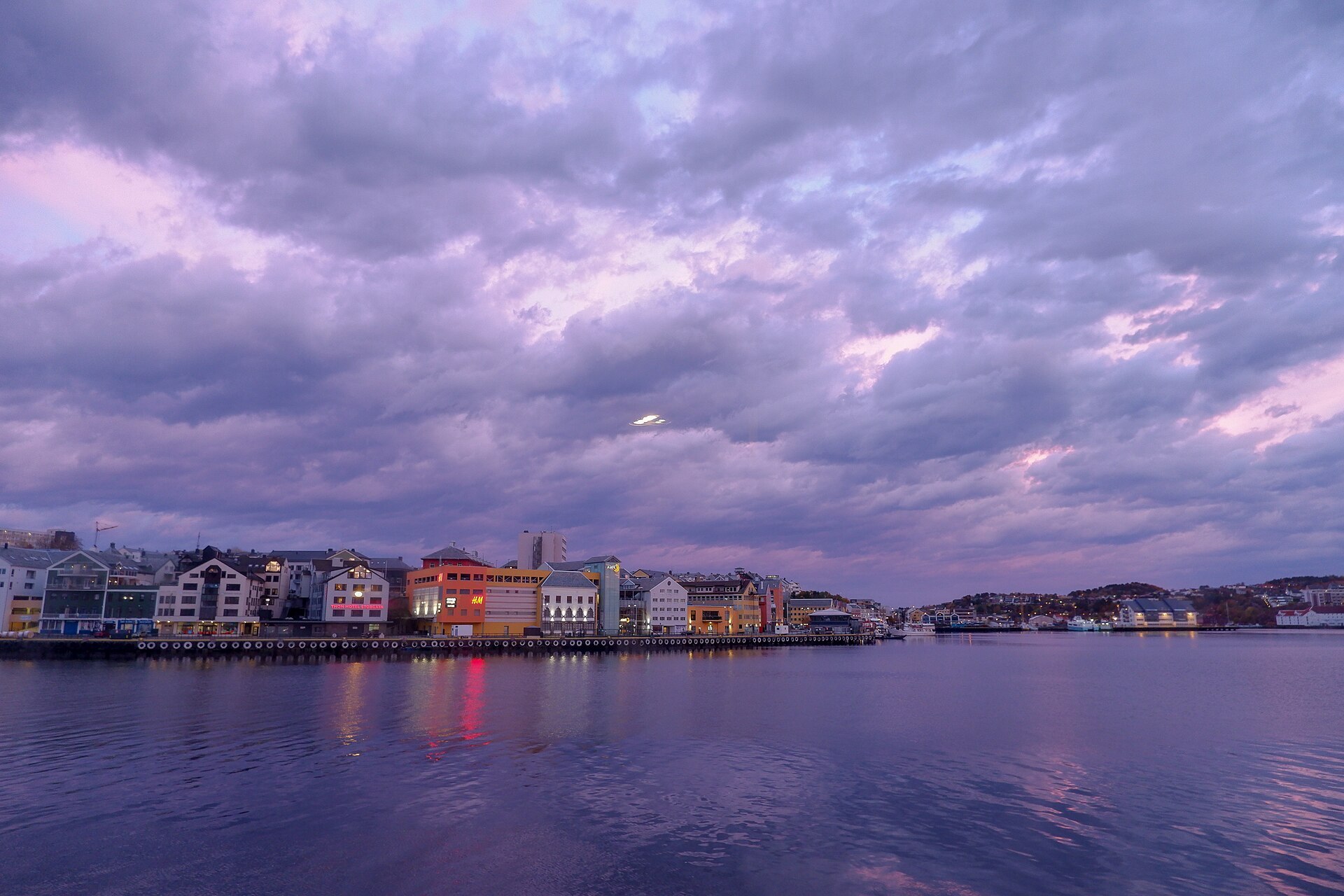
Kristiansund is built on islands at the mouth of the big Nordmøre fjords, right where the open sea begins. Locals talk about the town's four "lands": Kirkelandet with the centre, Gomalandet, Nordlandet and Innlandet, all set around one sheltered harbour. Bridges join them now, but the little Sundbåt still crosses between them, as it has done since 18 November 1876. It's said to be the oldest public transport route in the world still running, and a round trip takes about 20 minutes.
Klippfisk made the town. Salted cod was laid out to dry on the bare rocks, the fiskbergan, and shipped to Spain and South America, and from around 1850 no town in Norway exported more of it. These days the harbour, shipping and the supply base for the oil and gas fields offshore keep the town busy, along with fish farming. Until 1742 the place was called Fosna, from Old Norse Fólgsn, a hiding place. That year King Christian VI made it a kjøpstad and gave it his own name.
Local knowledge: on the morning of 28 April 1940 German bombers came over Kristiansund, and they kept coming for four days, until 1 May. The Germans believed the king and the government were hiding here. Around 800 of the town's 1.300 buildings were destroyed. The town was rebuilt to a new plan by Sverre Pedersen, with straight streets and plain functionalist blocks instead of the old tangle of wooden houses. Kaibakken, the wide street up from the quay, became the new spine, and Kirkelandet church at the top of the axis, finished in 1964, marked the end of the rebuilding. Innlandet escaped the bombs, so its narrow lanes and wooden houses, like Lossiusgården from 1780, show what the rest of town once looked like.
Born here: Ole Gunnar Solskjær (born 1973) started out at the local club Clausenengen, played for Manchester United from 1996 to 2007 and came back as the club's manager from 2018 to 2021. Wilhelm Frimann Koren Christie (born 1778) sat in the assembly at Eidsvoll in 1814 and led the talks with the Swedes that autumn.
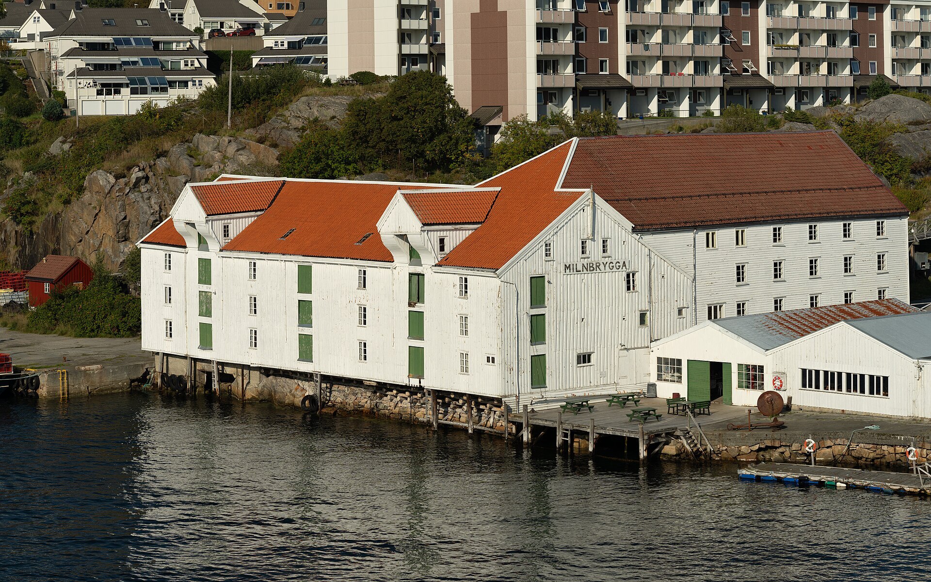
Visiting: the pin is on Piren at the foot of Kaibakken, where the Sundbåt leaves and the statue Klippfiskkjerringa, the klippfisk woman, stands. Walk round Vågen to Milnbrygga, an 18th-century klippfisk wharf that now holds the Norwegian Klippfisk Museum, with guided tours in summer. For the view, climb to Varden, the old lookout on the hill above the centre. On a rainy day, go for a swim at Atlanterhavsbadet. Through the undersea tunnel to Averøya you reach the Atlantic Road, eight bridges hopping over islands and skerries, with a stop at Eldhusøya.
Fact sheet
- People: 18.402 in Kristiansund, 24.479 in Kristiansund municipality
- County: Møre og Romsdal
- Town since: 1742 (as a trading town)
- Typical industries: shipping and boats, fish farming and fishing, the harbour, the offshore supply base and the airport
Population on 1 January 2026, from Statistics Norway. Typical industries are the ones with a much bigger share of the jobs here than in Norway as a whole (Statistics Norway, 2025).
Weather & Northern Lights
Now
In 24 hours
Northern Lights Chances
Weather forecast from MET Norway (yr.no). An indication, not a promise: aurora activity over this place (NOAA) times the clear sky in the best three-hour window of the night (MET Norway). The next nights rest on the Kp forecast only. More: our Northern Lights Forecast and the Northern Lights Map.
Getting there
Piren, 6509 Kristiansund N, Norway
Nearby
- Habibi KolonialNearest shop · 100 m
- Uno-X Kongens plassFuel300 m
- Toiletsright here
- KristiansundNearest townright here
- Vinmonopolet Kristiansund, SentrumNearest Vinmonopolet · 200 m
- Seivika Ferry QuayNearest ferry6,9 km
- Atlanten Motell og CampingNearest campsite1,6 km
Data from OpenStreetMap (ODbL)
On the way
Road reports within 40 km and the nearest road cameras, from Statens vegvesen (NLOD). The pictures refresh every few minutes; the reports are put into English word by word. All road cameras
Reviews
Rate this place
You are, or have been here? Give it your stars.
Comments
Thank you! Your comment is shown once we have read it.
No comments yet.
Write a comment
Let us know your experience with this place -- did something change? Your comment is shown once we have read it.
Please write a few words.
Thank you -- that is enough for now. Please try again in an hour.