

Nærøyfjord
About
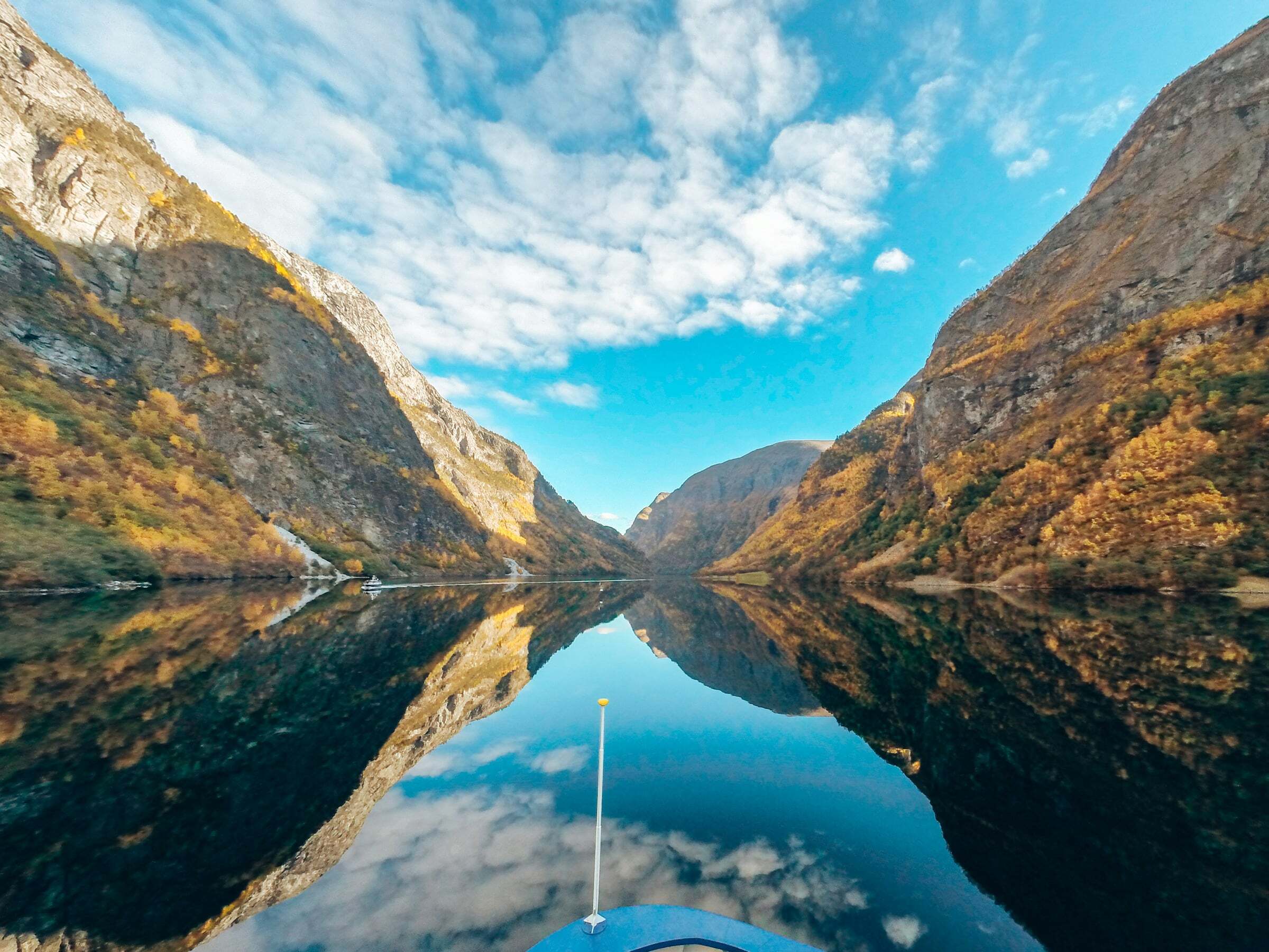
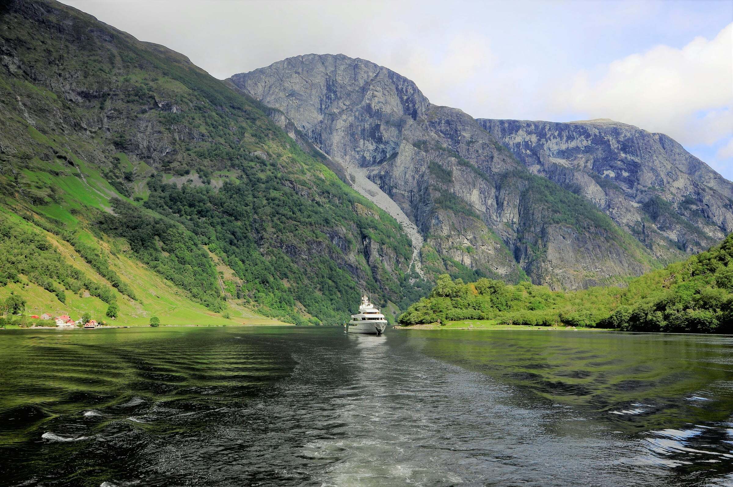
The Nærøyfjord is 17 km long and narrows to about 250 metres between mountain walls more than 1.000 metres high, with peaks of up to about 1.800 metres. It is an arm of the Sognefjord and, with the Geirangerfjord, a UNESCO World Heritage Site. The pin marks Gudvangen at the head of the fjord.
How to see it: by boat. The fjord cruise between Gudvangen and Flåm takes about 2 hours, runs all year and can start in either village (about NOK 520–665); in winter (16 October to 31 March) there are two departures a day each way. Stops at Aurland, Undredal, Dyrdal and Styvi must be booked before the boat leaves. Some of the boats are fully electric and almost silent. In bad weather the boat can turn back to Flåm, and a bus takes you on.
Tips for campers: Flåm is one of the busiest places in Norway in July, and parking there is paid and tight – May, September or winter are calmer. Leave the camper in Gudvangen or Flåm and do the cruise as a return trip, or combine it with the Flåm Railway (about 6 hours in total). Above Aurland, the Stegastein viewpoint on the Aurlandsfjellet Scenic Route is open all year. Drones are not allowed between Bleia and Storebotnen.

Weather & Northern Lights
Now
In 24 hours
Northern Lights Chances
Weather forecast from MET Norway (yr.no). An indication, not a promise: aurora activity over this place (NOAA) times the clear sky in the best three-hour window of the night (MET Norway). The next nights rest on the Kp forecast only. More: our Northern Lights Forecast and the Northern Lights Map.
Getting there
Gudvangen, 5747 Aurland, Norway
Nearby
- Joker GudvangenNearest shop · 200 m
- St1 GudvangenFuel200 m
- Toilets100 m
- GudvangenNearest villageright here
- Vinmonopolet AurlandNearest Vinmonopolet · 19 km
- Frønningen Ferry QuayNearest ferry29 km
- Resepsjon;Gudvangen CampingNearest campsite800 m
Data from OpenStreetMap (ODbL)
On the way
Road reports within 40 km and the nearest road cameras, from Statens vegvesen (NLOD). The pictures refresh every few minutes; the reports are put into English word by word. All road cameras
Reviews
Rate this place
You are, or have been here? Give it your stars.
Comments
Thank you! Your comment is shown once we have read it.
No comments yet.
Write a comment
Let us know your experience with this place -- did something change? Your comment is shown once we have read it.
Please write a few words.
Thank you -- that is enough for now. Please try again in an hour.