

Photos: Judisa (CC BY-SA 4.0), Judisa (CC BY-SA 4.0), Hanna Resvoll-Holmsen (Public domain) · Wikimedia Commons
1 / 3Reisa National Park
About
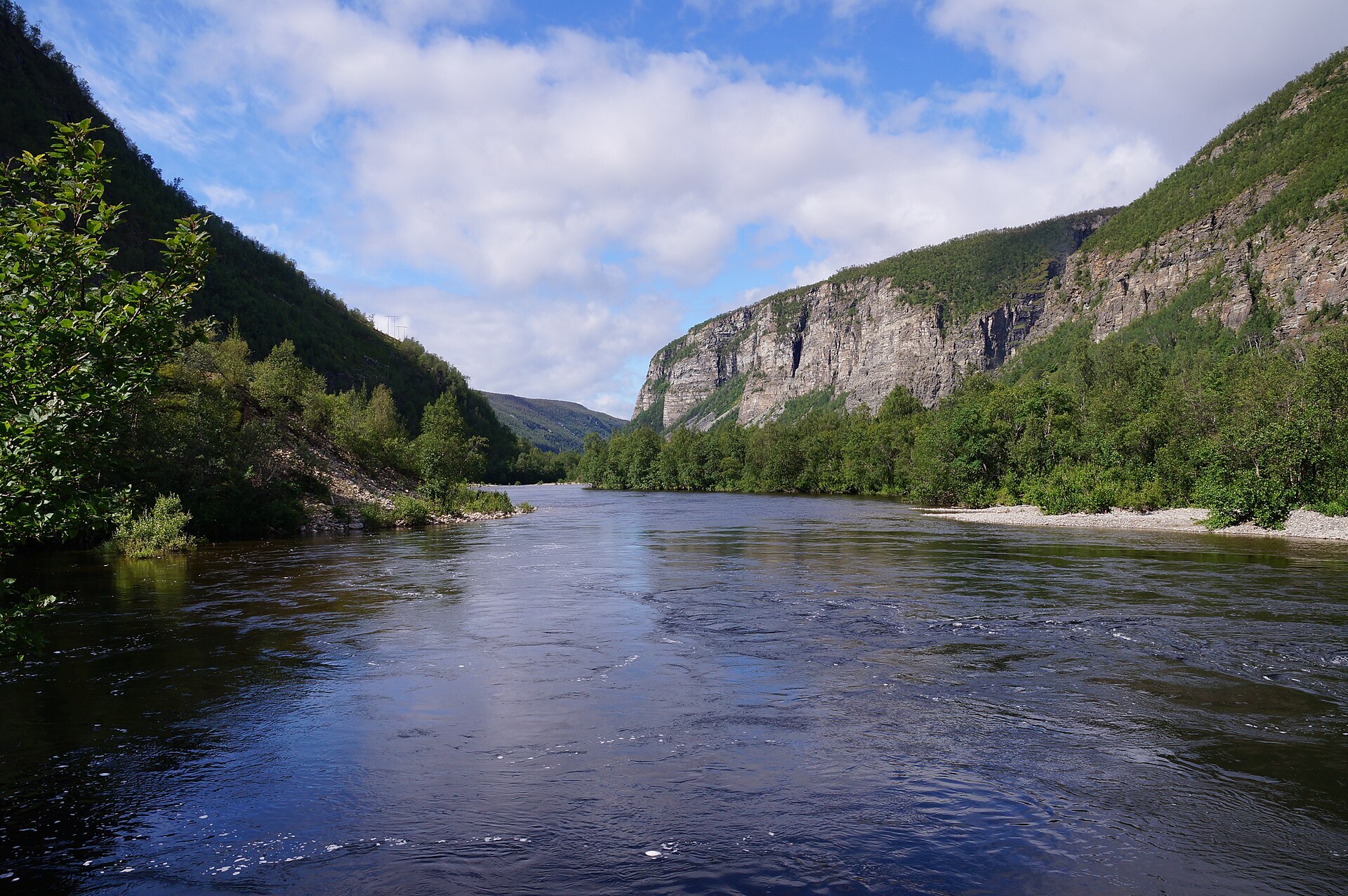
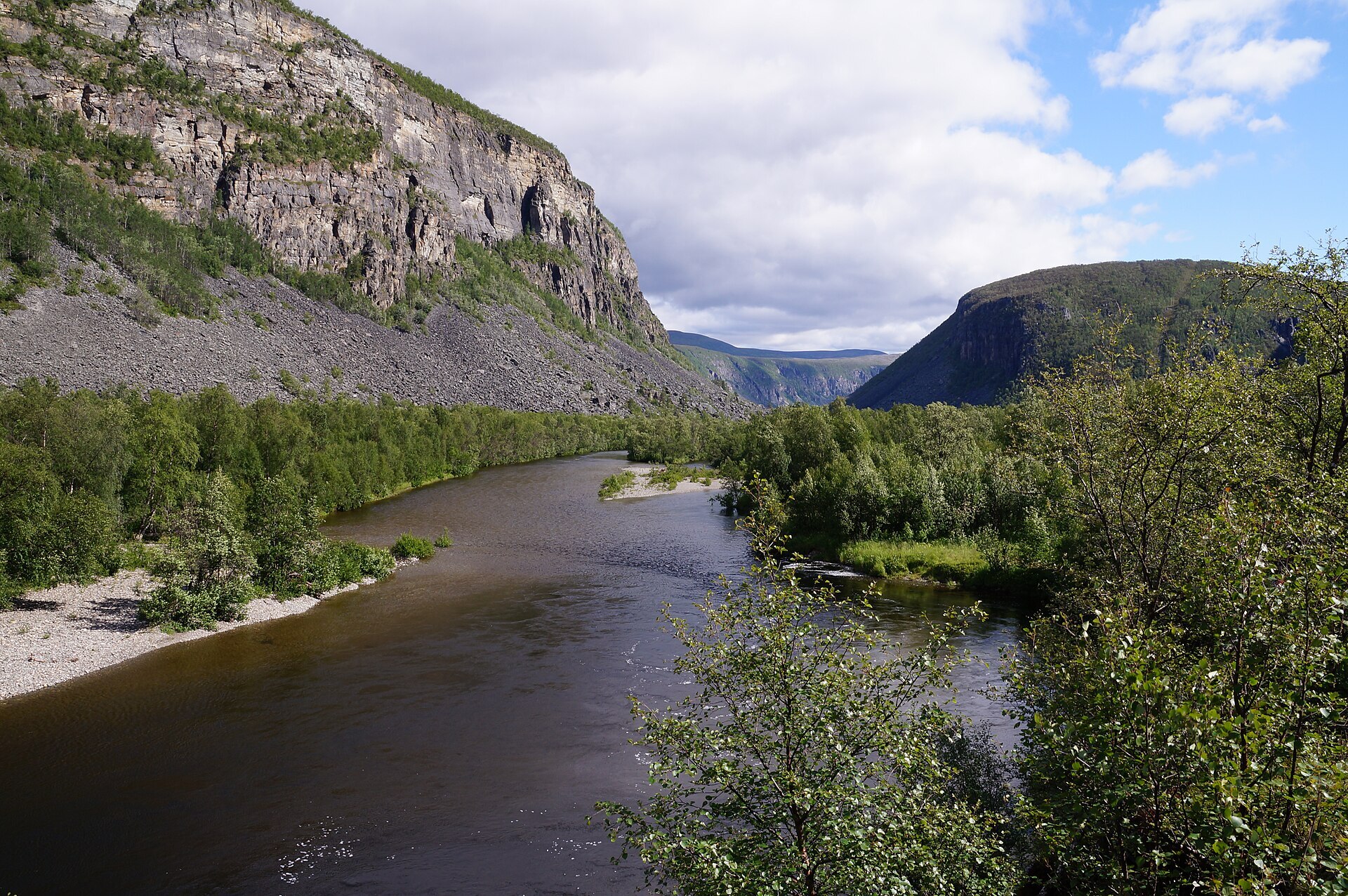
Reisadalen runs from the fjord at Storslett all the way up to Finnmarksvidda, and the upper part of the valley is Reisa National Park. The further in you go, the narrower and wilder it gets: steep cliffs on both sides, the Reisaelva salmon river in the bottom and side rivers tumbling in from the plateau. The biggest is Mollisfossen, 269 m in total with a free fall of 140 m, the highest waterfall in Troms. Further up, Imofossen drops into a narrow gorge with some of Norway's largest potholes and a natural granite bridge. The park was created in 1986, covers 803 km² and reaches from the Finnish border to the open plateau in the east. Moose, wolverine and lynx live in the valley, and 122 bird species have been recorded, the gyrfalcon among them.
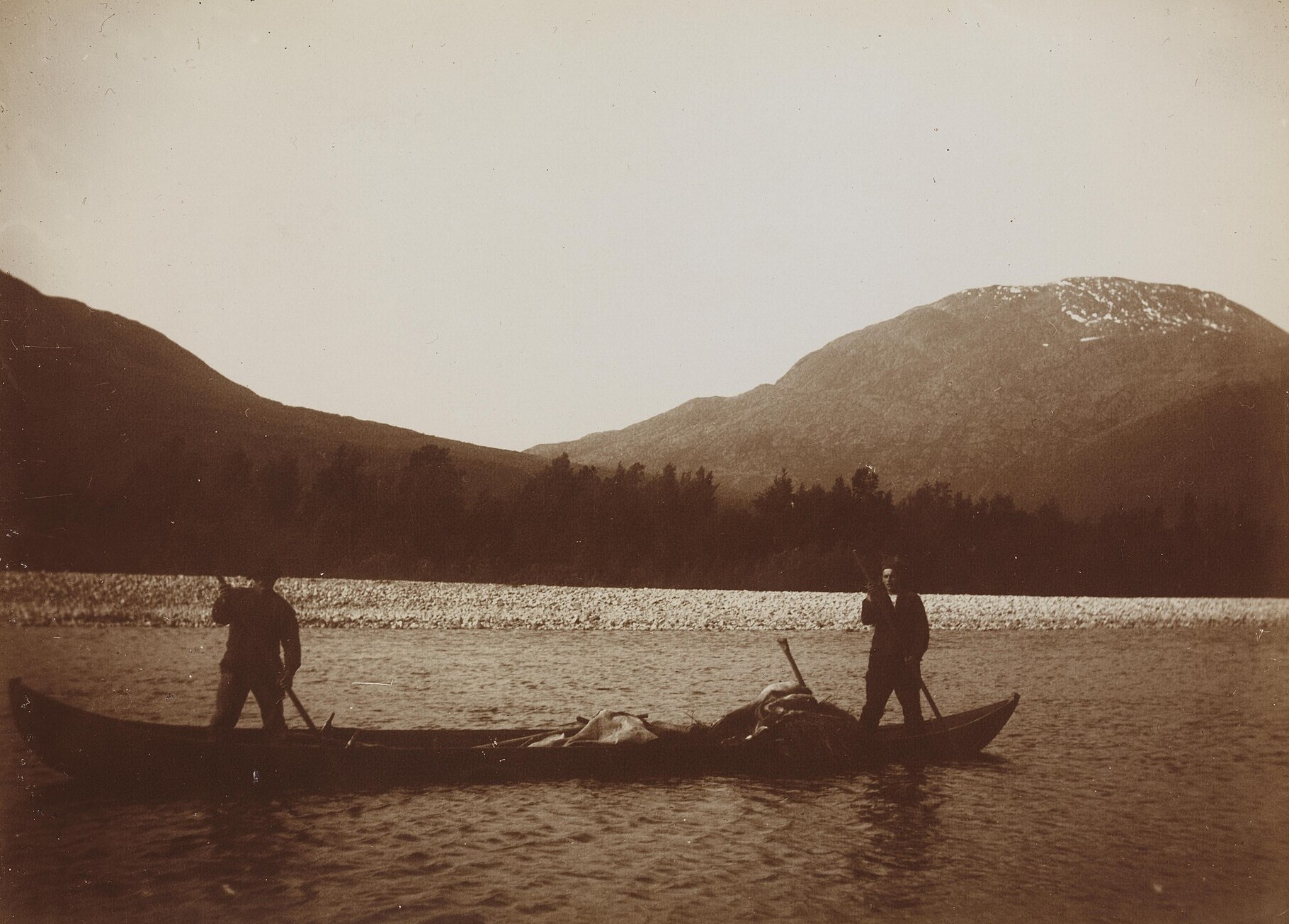
Local knowledge: Reisadalen is known as the meeting place of three peoples, Norwegian, Kven and Sámi, and Kven place names are everywhere. For a long time tar was the valley's biggest trade. The Kvens brought the skill of burning tar from pine roots, and people from the valley were once called tervalantalaisia, "tar Kvens". One kiln took about a year from digging the roots to burning, and the barrels were floated down the river on log rafts, 20 to 25 at a time, past many dangerous spots. The last kilns burned in the 1950s and 60s, and their remains are probably the most common old site along the river. Much older finds turn up too. In 1931 the reindeer herder Mathis Aslaksen Siri handed in iron arrowheads from the snow patches near Mollejus, and in 2011 two Finnish hikers found another one there, lost by reindeer hunters more than 1.000 years ago. At Sieimma there are rock paintings probably around 3.800 years old.
Visiting: from the E6 at Storslett, follow the road up Reisadalen to its end at Saraelv. Here is Ovi Raishiin, Kven for "the door to Reisadalen", the park's entrance point run by Halti National Park Centre, and that is where the pin is. It has parking, toilets open all year, fire pits, tables, a viewpoint towards the park about 8 km away and information boards, with staff there on summer Tuesdays and Fridays. Marked walks go to the Sarafossen waterfall and to Sieimma, and a circular route Saraelv–Sieimma is 18,4 km. The Arctic Trail and the Historic Hiking Route follow the river 61 km up to Ráisjávri, with cabins on the way. The classic way to see Mollisfossen is from the river: by old custom some local families run boats on the Reisaelva, and local operators offer riverboat trips in summer. You can bring a canoe and paddle back down, but the river rises fast after heavy rain and in the snowmelt. July and August are best for hiking. More on the park's official page and Reisa National Park's own website. Nearby in our guide: Mollisfossen – Reisa National Park, Halti - Troms / Finland and Gorsa Canyon and Gorzifossen Waterfall – Kåfjorddalen.

Weather & Northern Lights
Now
In 24 hours
Northern Lights Chances
Weather forecast from MET Norway (yr.no). An indication, not a promise: aurora activity over this place (NOAA) times the clear sky in the best three-hour window of the night (MET Norway). The next nights rest on the Kp forecast only. More: our Northern Lights Forecast and the Northern Lights Map.
Getting there
Ovi Raishiin, Saraelv, 9151 Storslett, Norway
Nearby
- Joker BirtavarreNearest shop · 28 km
- Toiletsright here
- Vinmonopolet StorslettNearest Vinmonopolet · 41 km
- Olderdalen - Lyngseidet FerryNearest ferry43 km
- Reisa River LodgeNearest campsite21 km
Data from OpenStreetMap (ODbL)
On the way
Road reports within 40 km and the nearest road cameras, from Statens vegvesen (NLOD). The pictures refresh every few minutes; the reports are put into English word by word. All road cameras
Reviews
Rate this place
You are, or have been here? Give it your stars.
Comments
Thank you! Your comment is shown once we have read it.
No comments yet.
Write a comment
Let us know your experience with this place -- did something change? Your comment is shown once we have read it.
Please write a few words.
Thank you -- that is enough for now. Please try again in an hour.