

Photos: Richard Mortel (CC BY 2.0), Erlend Eide (CC0), Knud Knudsen (Public domain) · Wikimedia Commons
1 / 3Skjervøy
About
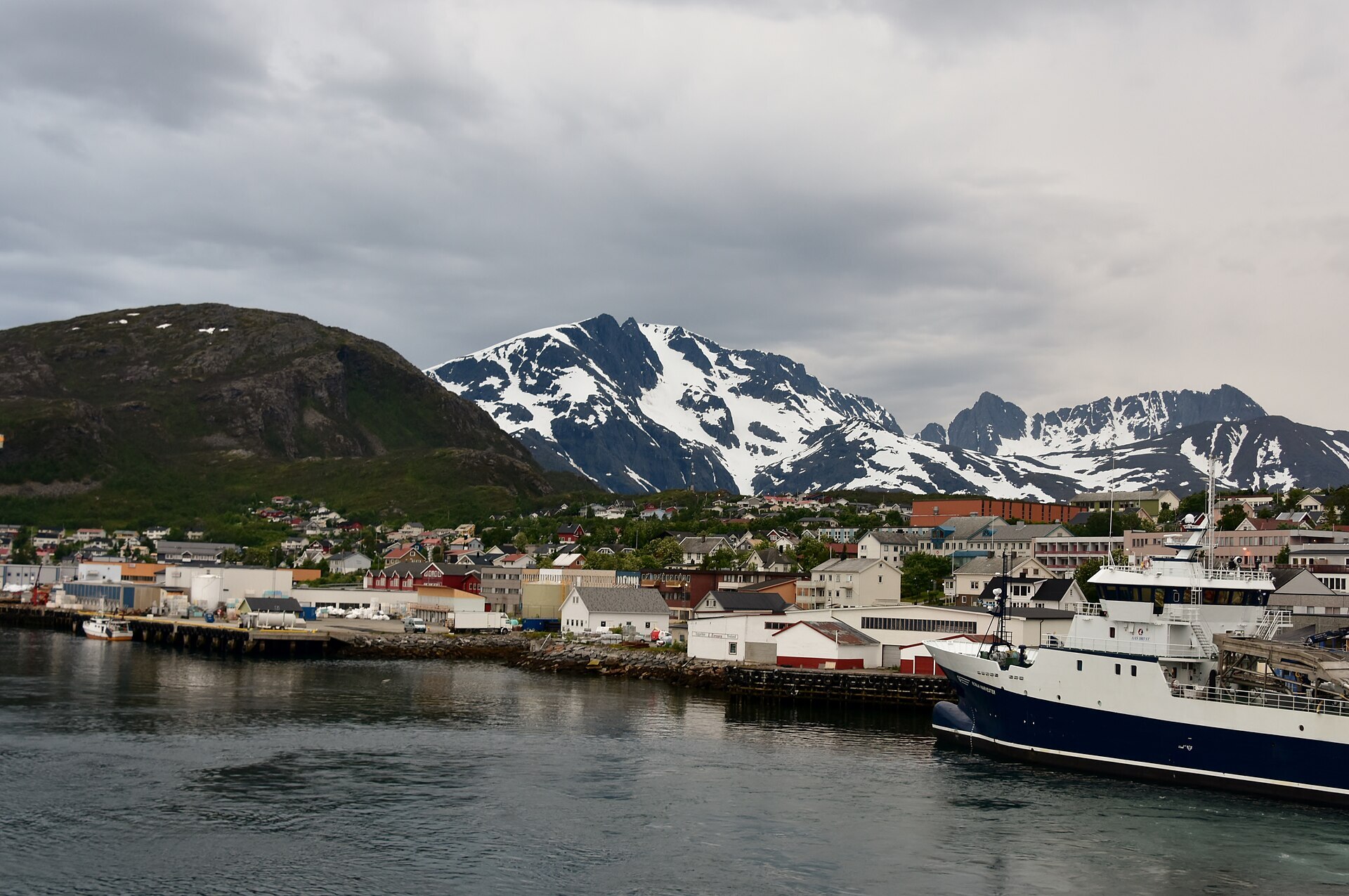
Skjervøy sits on the east side of a small, rocky island where the Kvænangen fjord meets the open sea. You drive in over the bridge from Kågen, and the first thing you see is the harbour: fish quays, the salmon factory, the Hurtigruten quay and houses stacked up the slope, with the peaks of Kågen rising behind. About 2.400 people live here, and the town lives from fish. Almost one job in five in the municipality is in food processing, which here means cod, saithe and salmon.
In the night to 20 August 1896 Nansen's polar ship Fram, with Otto Sverdrup in command, sailed into this harbour, her first port after three years in the drifting ice. These days the famous visitors are whales. Since the winter of 2017–2018 big shoals of herring have wintered in Kvænangen, killer whales and humpbacks follow them, and the whale boats leave from here in the dark months. The sun doesn't rise from about 26 November to 16 January, and it doesn't set from about 17 May to 26 July.
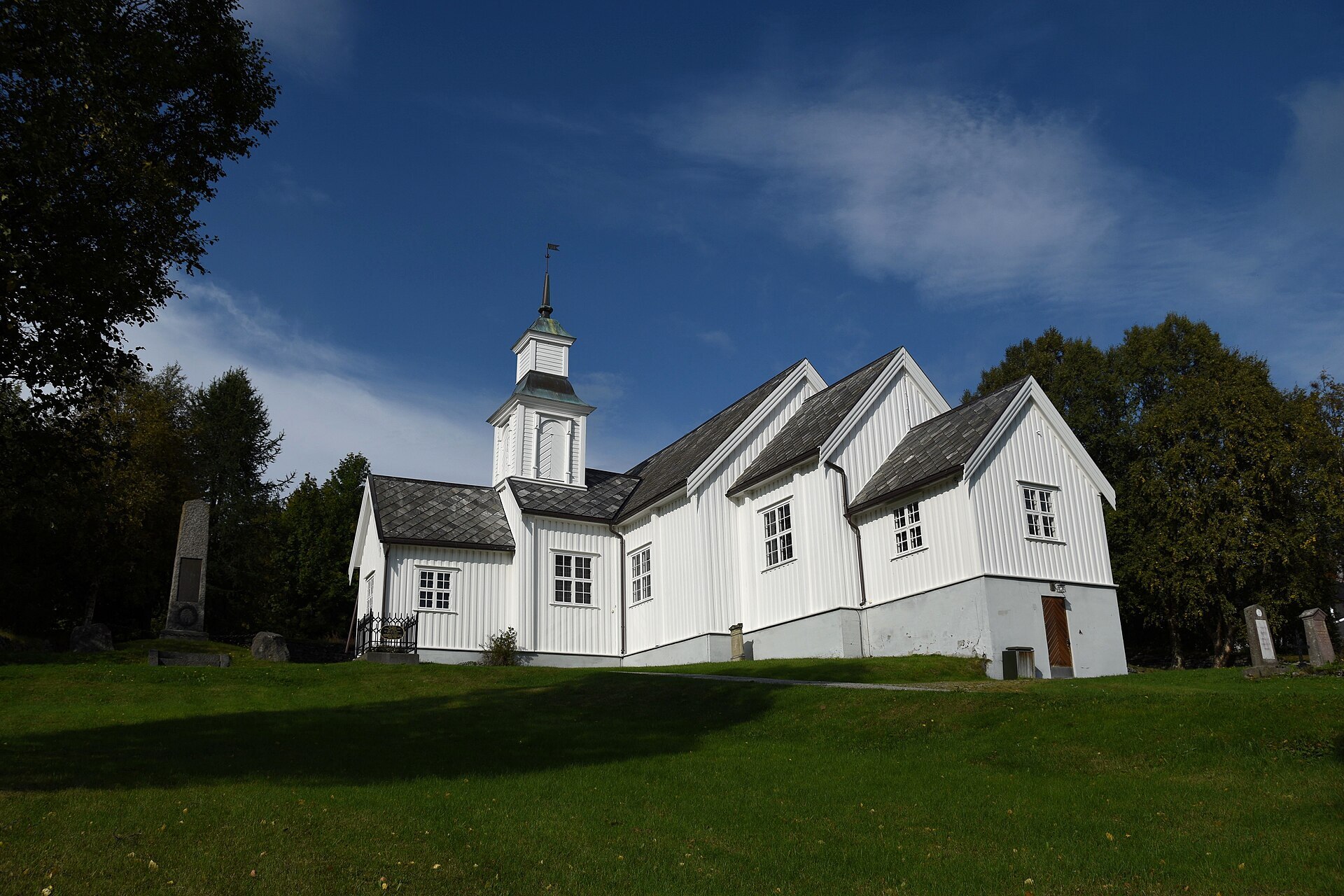
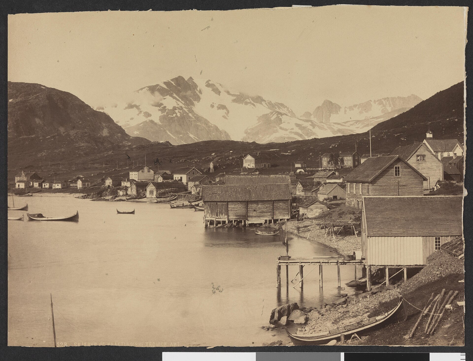
Local knowledge: the name comes from the Old Norse skerfr, bare rock ground, which suits the island. The town you see today was shaped in November 1944, when the retreating German army forced everyone out and burned every home at Skjervøy. The white wooden church on the slope above the centre is still standing. It was built in 1728 for Thomas von Westen's mission among the Sámi and is the oldest wooden church in the diocese of Nord-Hålogaland. The first families came back in May 1945, and the new co-op opened its first shop in an old German barrack.
Visiting: the pin is on the Aurora Salmon Centre on Industriveien, at the south end of town, which also works as the tourist information in summer. Entry is free, and on a wet day it's the place to go, with films about salmon from roe to dinner plate and a history exhibition made with Nord-Troms Museum. Seppalatunet tells the story of Leonhard Seppala, who grew up here and drove the longest leg of the 1925 serum run to Nome in Alaska. It opens on request, so get in touch first. For the view, walk up Stussnesfjellet behind the town. Good to know: the herring doesn't come in the same numbers every winter (far less turned up in 2025–2026), so ask the boat operators before you plan around whales. Heading on towards Alta, the E6 takes you past Fosselvfossen and over Kvænangsfjellet.
Fact sheet
- People: 2.441 in Skjervøy, 2.802 in Skjervøy municipality
- County: Troms
- Typical industries: fish processing, shipping and boat transport
- Midnight sun: 17 May – 26 July
- Polar night: 26 November – 16 January
Population on 1 January 2026, from Statistics Norway. Typical industries are the ones with a much bigger share of the jobs here than in Norway as a whole (Statistics Norway, 2025).
Weather & Northern Lights
Now
In 24 hours
Northern Lights Chances
Weather forecast from MET Norway (yr.no). An indication, not a promise: aurora activity over this place (NOAA) times the clear sky in the best three-hour window of the night (MET Norway). The next nights rest on the Kp forecast only. More: our Northern Lights Forecast and the Northern Lights Map.
Getting there
Industriveien 2, 9180 Skjervøy, Norway
Nearby
- Extra SkjervøyNearest shop · 400 m
- St1 SkjervøyFuel200 m
- Toilets200 m
- SkjervøyNearest village700 m
- Vinmonopolet SkjervøyNearest Vinmonopolet · 1,0 km
- Storstein Ferry QuayNearest ferry4,9 km
- Skjervøy fiskecampNearest campsite300 m
Data from OpenStreetMap (ODbL)
On the way
Road reports within 40 km and the nearest road cameras, from Statens vegvesen (NLOD). The pictures refresh every few minutes; the reports are put into English word by word. All road cameras
Reviews
Rate this place
You are, or have been here? Give it your stars.
Comments
Thank you! Your comment is shown once we have read it.
No comments yet.
Write a comment
Let us know your experience with this place -- did something change? Your comment is shown once we have read it.
Please write a few words.
Thank you -- that is enough for now. Please try again in an hour.