

Photos: Frankemann (CC BY-SA 4.0), Frankemann (CC BY-SA 4.0), Ximonic (Simo Räsänen) (CC BY-SA 3.0) · Wikimedia Commons
1 / 3Varangerhalvøya National Park
About
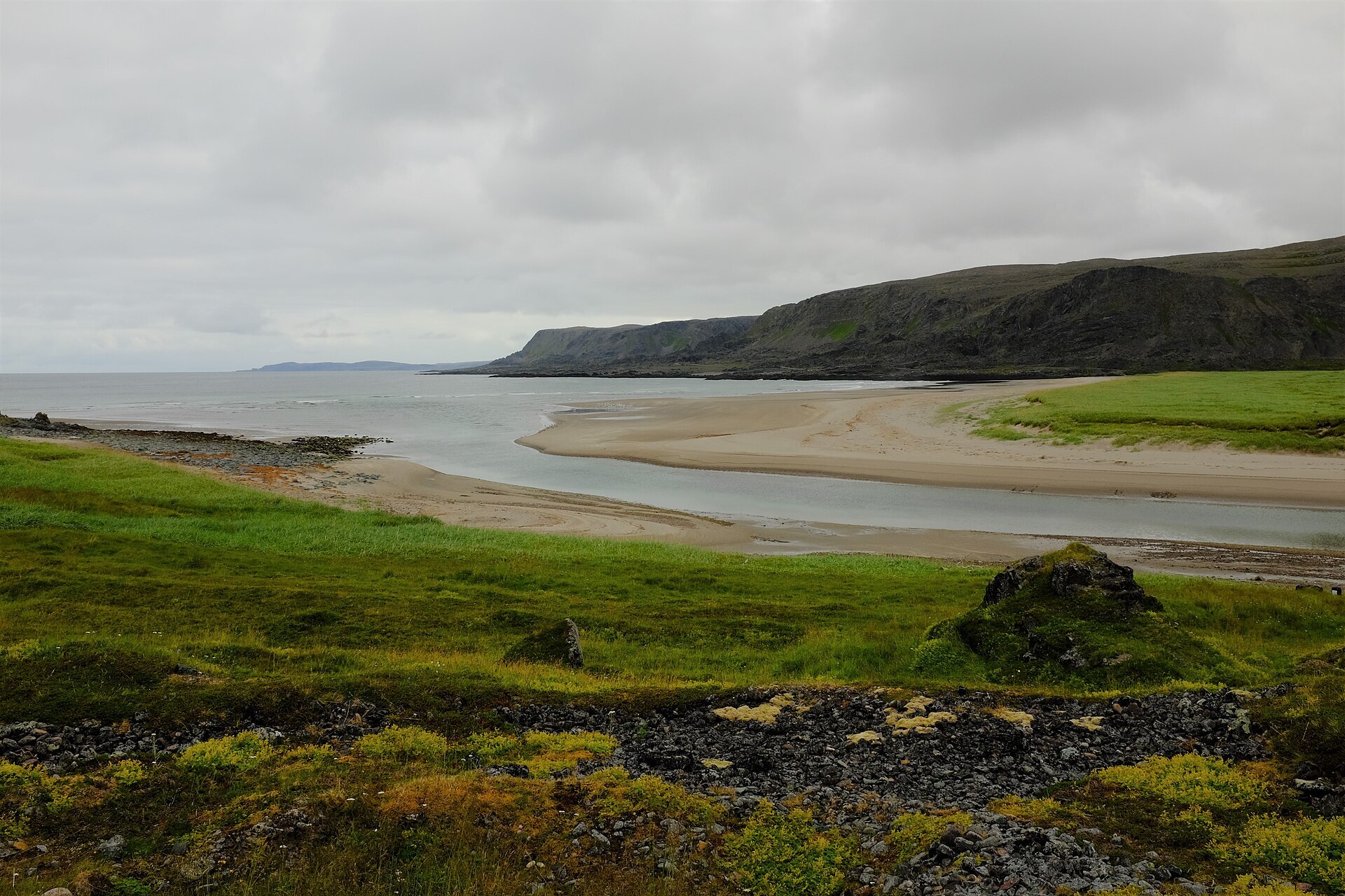
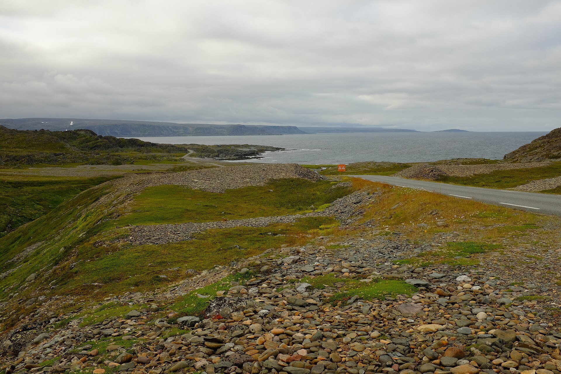
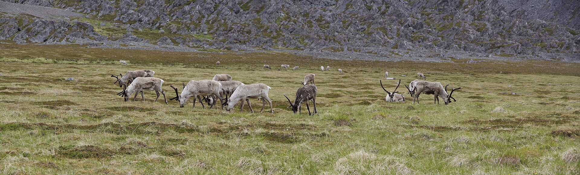
In the far north-east, between Vadsø, Vardø and Båtsfjord, Norway suddenly looks different. In the last Ice Age the ice lay frozen to the ground here and barely moved, so it carved no sharp peaks and left almost no lakes. What remains is a high, rounded plateau of grey boulder fields, topped by Skipskjølen at only 633 m and cut by wide green river valleys where salmon and Arctic char run in summer. The park was created in 2006 and covers 1.804 km², nearly the whole peninsula except the coast. Reindeer graze here in summer, and the endangered Arctic fox still breeds on the peninsula.
Local knowledge: on Kjøpmannskjølen, which the Sámi call Noidiidčearru, "the mountain of the noaidis" (shamans), lie huge stone traps for wild reindeer. Rows of stones kilometres long steered the herds into a round enclosure built around a small hilltop, so the animals saw the far fence too late. Varanger is the only place in the world where fences like these end in closed, round enclosures, and they were still in use in the 1500s. They are protected, so leave every stone where it lies. The war left stories too. Partisan Trygve Eriksen from Kiberg crossed the peninsula on foot, and when a snowstorm caught him near Skipskjølen he lay for three days in a snow cave he had dug.
Visiting: there are no marked trails in the park and some rivers are hard to cross, so start with a day walk from one of the official starting points. The pin is the car park for Nattfjelldalen (Idjaávže) at Vadsø. Leave the E75 towards the airport, turn left where it is signed for the motocross track and follow the gravel road 4,8 km past Byvannet to the pump house at Sjåbuselva, where there are information boards. A path marked with blue poles runs about 4,8 km to the park border, past a lean-to, and from there it is roughly 4 km more to Storelvfossen at the head of the canyon. July to September is the best time. Keep clear of reindeer calving areas, and leave drones and e-bikes behind. The other starting points are Ordo near Båtsfjord and Komagdalen in Vardø. More on the park's official page. Nearby in our guide: Ekkerøy round walk, Hamningberg – Varanger, Kibergneset hike and Steilneset Memorial – Vardø.

Weather & Northern Lights
Now
In 24 hours
Northern Lights Chances
Weather forecast from MET Norway (yr.no). An indication, not a promise: aurora activity over this place (NOAA) times the clear sky in the best three-hour window of the night (MET Norway). The next nights rest on the Kp forecast only. More: our Northern Lights Forecast and the Northern Lights Map.
Getting there
Nattfjelldalen (Idjaávže), Vadsø, Norway
Nearby
- Joker VadsøNearest shop · 4,0 km
- Toilets200 m
- VadsøNearest town4,8 km
- Vinmonopolet VadsøNearest Vinmonopolet · 4,9 km
- Varanger Panorama CampingNearest campsite5,2 km
Data from OpenStreetMap (ODbL)
On the way
Road reports within 40 km and the nearest road cameras, from Statens vegvesen (NLOD). The pictures refresh every few minutes; the reports are put into English word by word. All road cameras
Reviews
Rate this place
You are, or have been here? Give it your stars.
Comments
Thank you! Your comment is shown once we have read it.
No comments yet.
Write a comment
Let us know your experience with this place -- did something change? Your comment is shown once we have read it.
Please write a few words.
Thank you -- that is enough for now. Please try again in an hour.