

Sognefjord
About
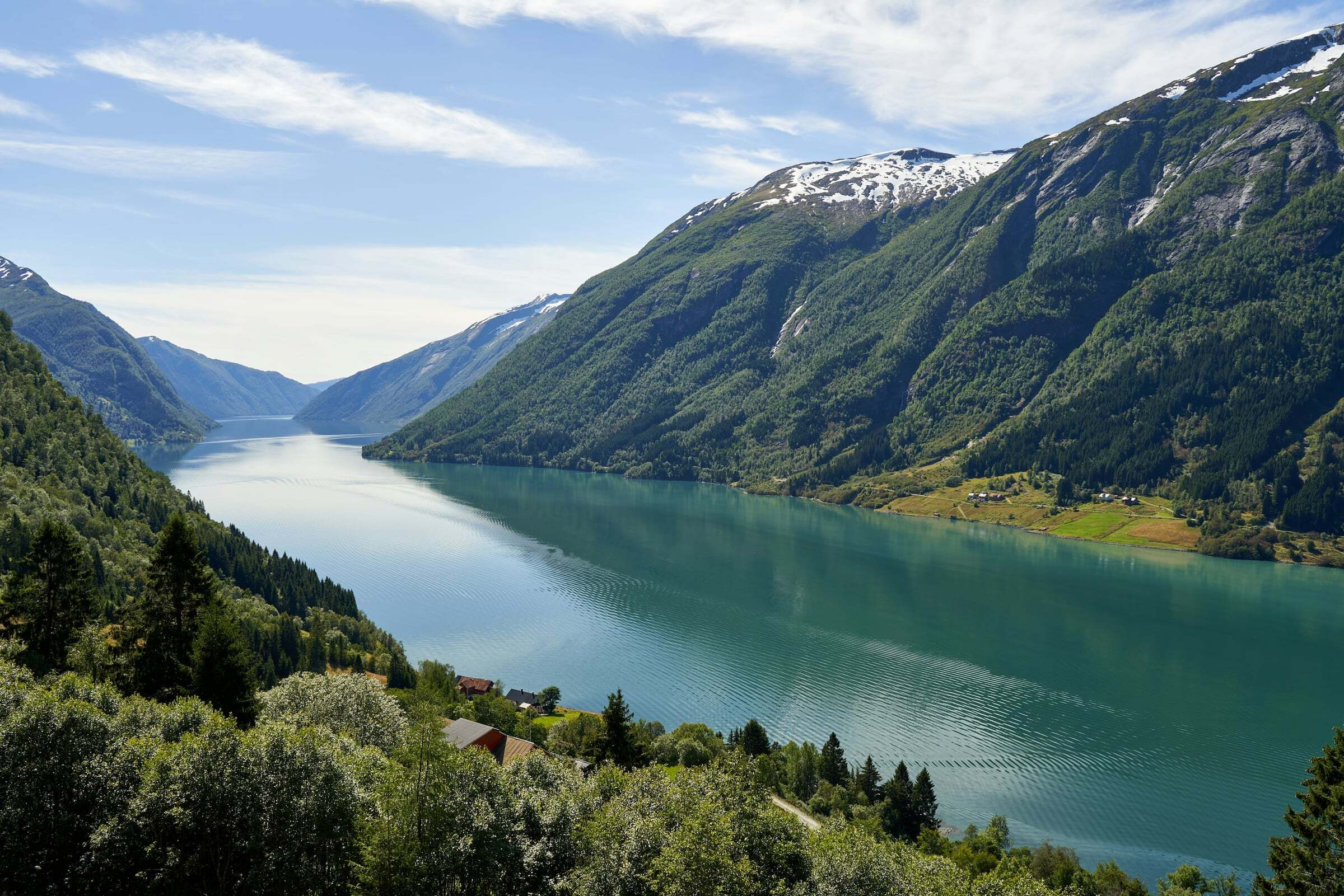
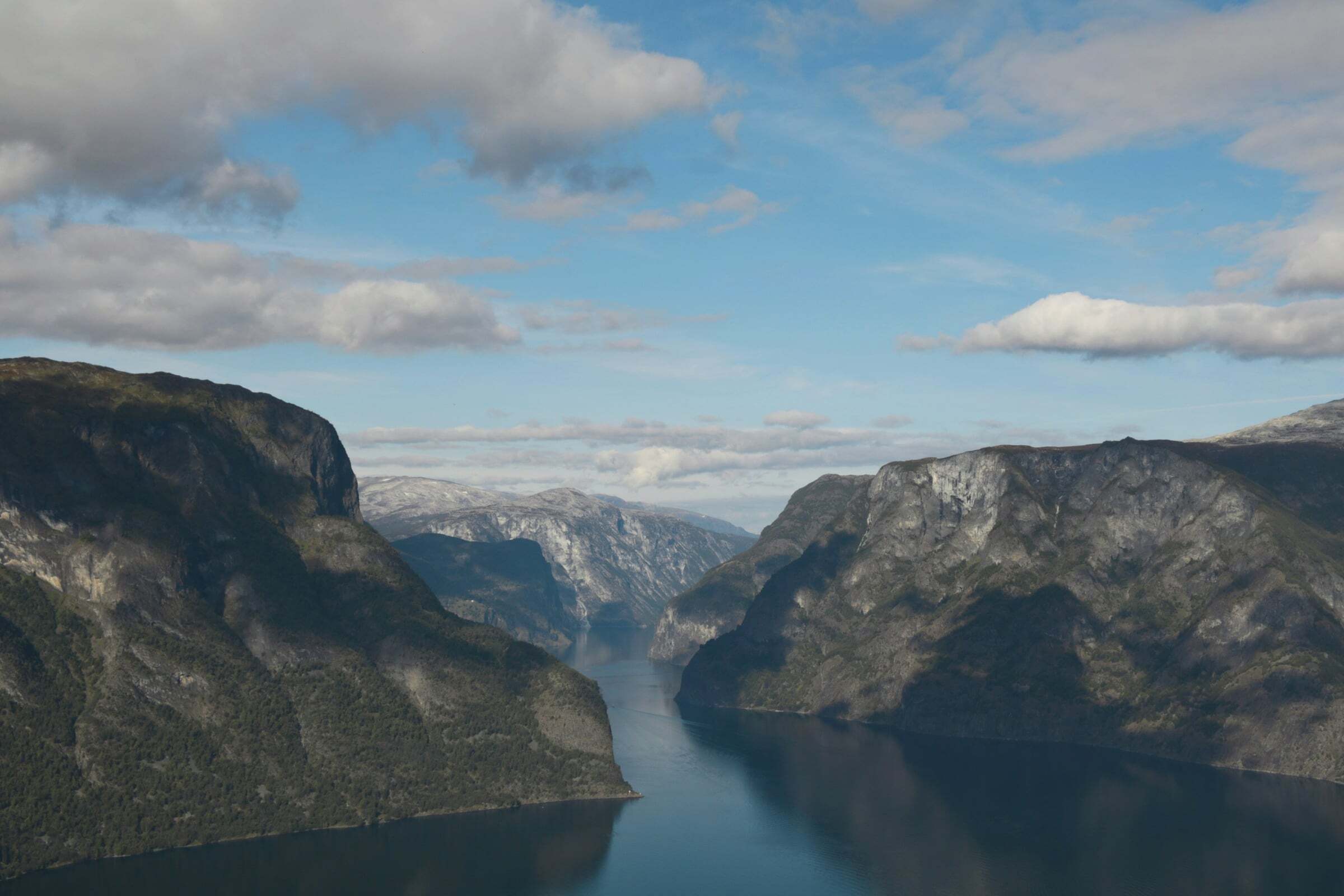
The Sognefjord is Norway’s longest and deepest fjord – 205 km from the coast to the head of the Lustrafjord, and up to 1.308 metres deep. Its arms reach far into the mountains: the Nærøyfjord and the Aurlandsfjord in the south, and in the east the Lustrafjord with Urnes stave church, the Nigardsbreen glacier and Jotunheimen behind. The pin marks Balestrand, a classic fjord village and a stop of the express boat.
Getting around: no road follows the whole fjord – you cross it by car ferry, for example Fodnes–Mannheller, where the queue can be long in summer. The express boat from Bergen (about 5,5 hours to Flåm, April to October) does not take cars. The inner arms are best explored with your own vehicle and a few days’ time.
Routes and stops: the Aurlandsfjellet Scenic Route with Stegastein above Aurland, the Sognefjellet Scenic Route from Gaupne over the mountain to Lom, the Flåm Railway (about 1 hour, 20 km up to Myrdal, all year) and Feigumfossen in Luster, a quieter waterfall.
Tips for campers: most ferries are short, need no booking and are paid by card or AutoPASS – check the timetable for the smaller crossings. Walking on the Nigardsbreen glacier needs a guide and a trip of its own. The Sognefjord itself is not part of the World Heritage Site – only its arm, the Nærøyfjord, is.

Weather & Northern Lights
Now
In 24 hours
Northern Lights Chances
Weather forecast from MET Norway (yr.no). An indication, not a promise: aurora activity over this place (NOAA) times the clear sky in the best three-hour window of the night (MET Norway). The next nights rest on the Kp forecast only. More: our Northern Lights Forecast and the Northern Lights Map.
Getting there
Balestrand, 6899 Sogndal, Norway
Nearby
- Coop Prix BalestrandNearest shop · 100 m
- Circle K Automat BalestrandFuel300 m
- Toilets100 m
- BalestrandNearest villageright here
- Vinmonopolet Vik i SognNearest Vinmonopolet · 14 km
- Balestrand Ferry QuayNearest ferry100 m
- Veganeset CampingNearest campsite1,5 km
Data from OpenStreetMap (ODbL)
On the way
Road reports within 40 km and the nearest road cameras, from Statens vegvesen (NLOD). The pictures refresh every few minutes; the reports are put into English word by word. All road cameras
Reviews
Rate this place
You are, or have been here? Give it your stars.
Comments
Thank you! Your comment is shown once we have read it.
No comments yet.
Write a comment
Let us know your experience with this place -- did something change? Your comment is shown once we have read it.
Please write a few words.
Thank you -- that is enough for now. Please try again in an hour.